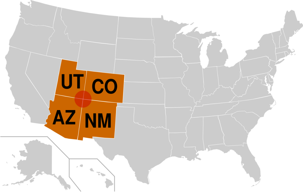
There is just one location in the U.S.A. where four states come together. That’s the point where the northeastern corner of Arizona, the northwestern corner of New Mexico, the southwestern corner of Colorado, and the southeastern corner of Utah, all four, come together at right angles just like square tiles on the floor. It’s called a quadripoint and it’s the only location where four U.S. states come together.
The larger area where the states come together is called the “Four Corners Region.”
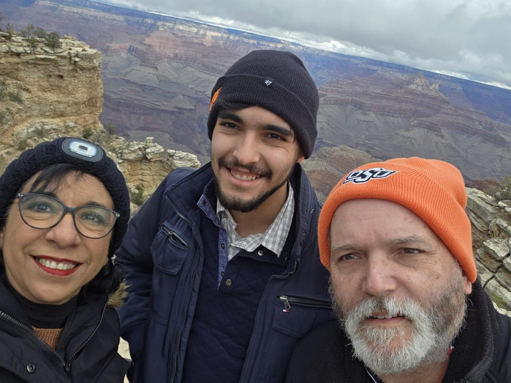
It’s a region with much to see, geographically, historically, and culturally. In late December of 2025, my wife and our younger son and I took a 6-day trip to the Grand Canyon and other sites in the Four Corners Area.
We did a lot of crisscrossing through the four states on that trip. We passed through Arizona 5 times, Utah 4 times, New Mexico 4 times and Colorado 2 times. And those times don’t count the Four Corners Monument, where you can literally cross from one state to another in a fraction of a second or even be in all 4 states simultaneously!
The whole region has all sorts of sights worth seeing.
The Grand Canyon is in Arizona. It’s part of the Colorado River and is 277 miles long.
Usually what tourists mean by Grand Canyon is the Grand Canyon National Park. That’s what we visited. We were on the South Rim, because the North Rim was closed for the winter.
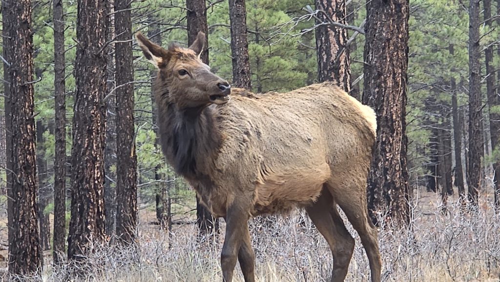
We arrived to the park, in a wooded area, and saw some elk. Here’s one of them:
We went to the visitor’s center and gift shop. We were already close to the canyon, but we couldn’t even see it yet.
But then we walked to the South Rim and saw the spectacular views of the Grand Canyon. It is spectacular.
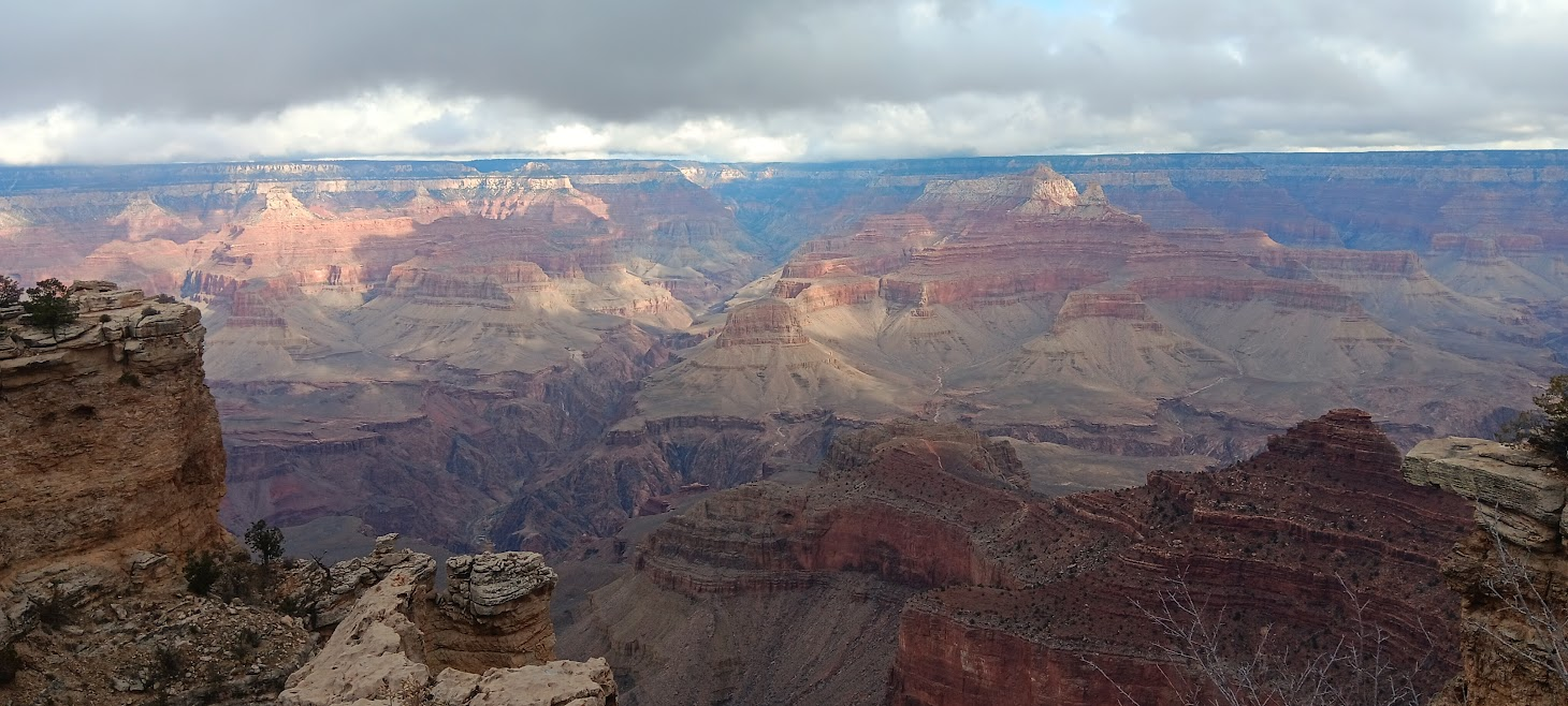
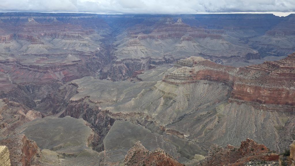
The Grand Canyon is believed to have been formed by the Colorado River and tributaries. We could see the Colorado River way down at the bottom of the canyon.
Lilia took a good close-up of the Kaibab Trail Suspension Bridge (constructed in 1928) over the Colorado River at the bottom of the Grand Canyon.
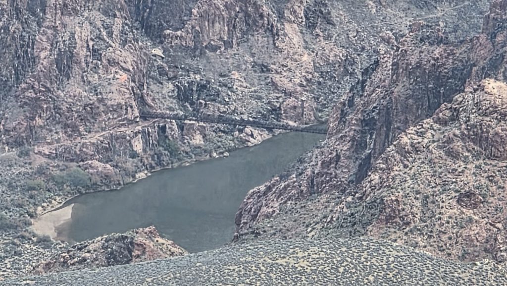
Photo by Lilia Wall.
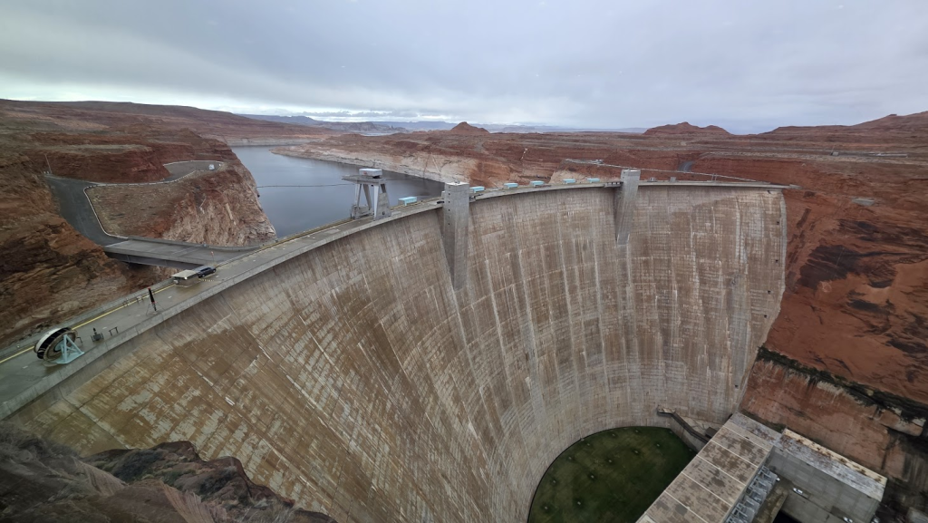
We spent one night in Page, Arizona, which is right next to the Glen Canyon Dam on the Colorado River.
The Glen Canyon Dam was built from 1956 to 1966. It’s thank to the dam that the town of Page exists. It was originally a camp for workers building the dam. Enough people stayed and it was officially declared a town in 1975.
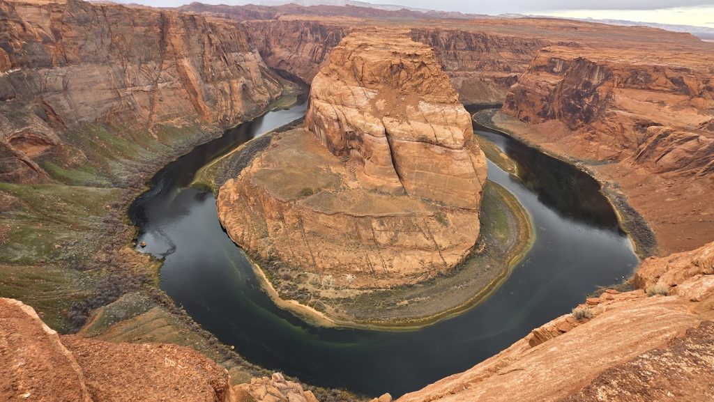
We visited the famous Horseshoe Bend, in which the Colorado River makes a 180 degree turn.
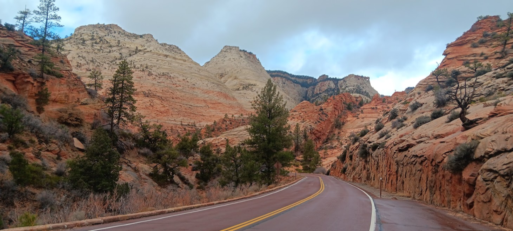
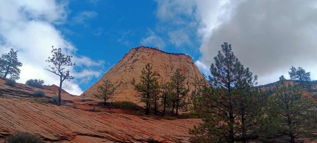
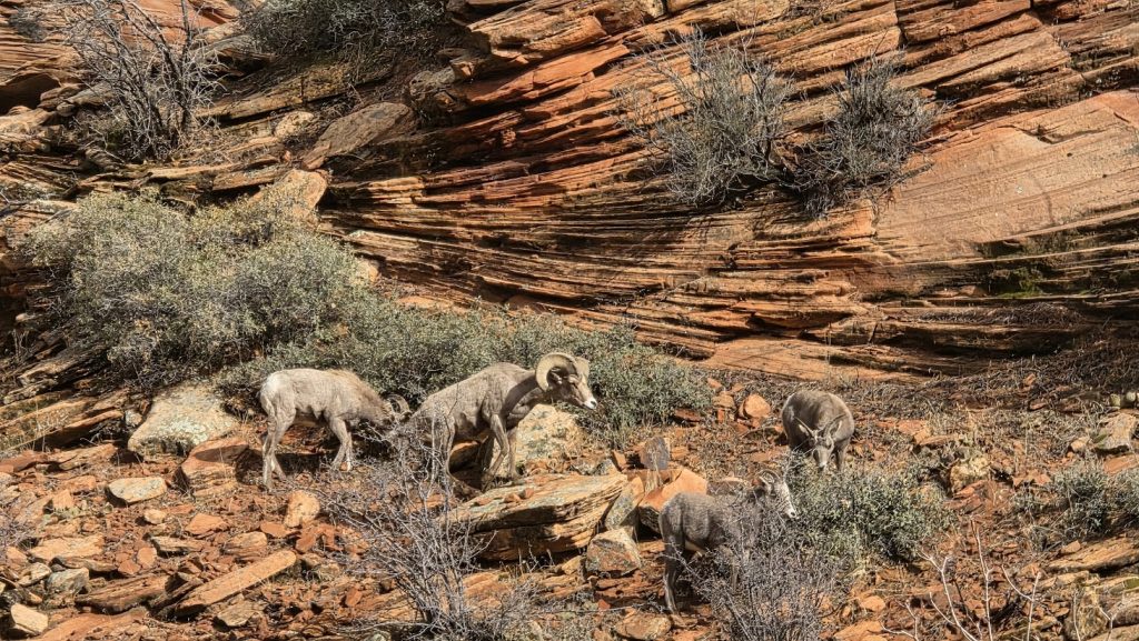
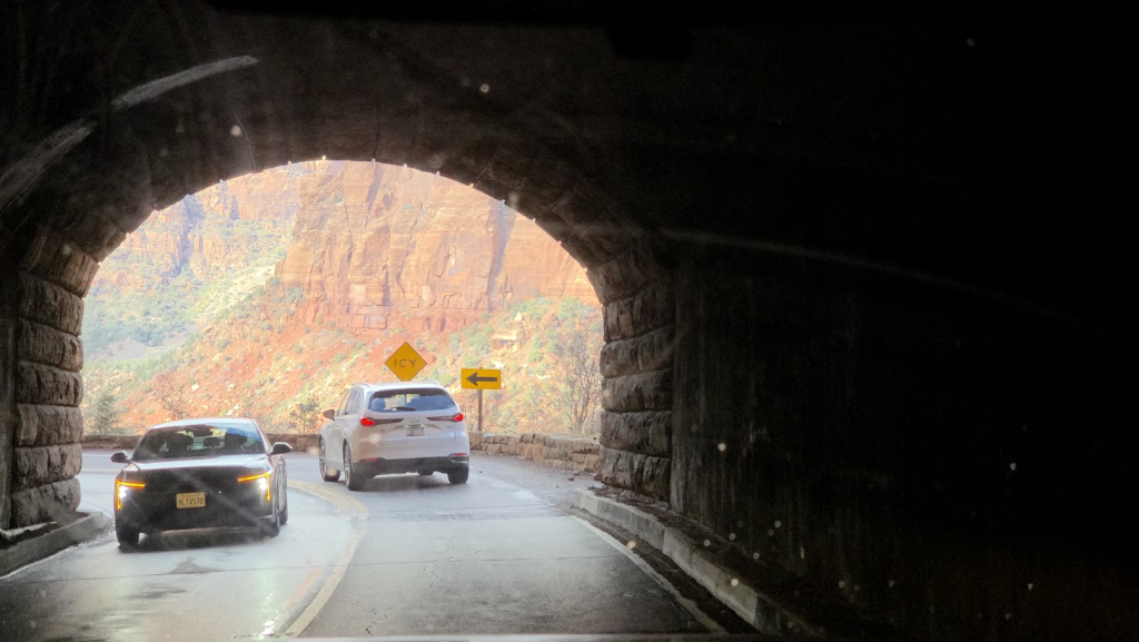
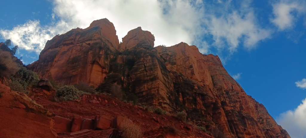
In the state of Utah, we drove through Zion National Park, with its unique mountains. The drive includes a tunnel that was carved through a mountain (from 1927 to 1930).
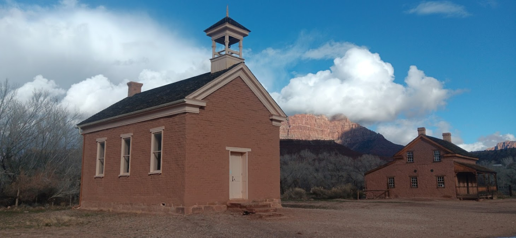
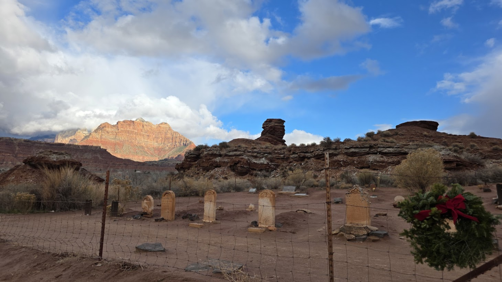
Afterwards, we visited the ghost town of Grafton, once a Mormon pioneer settlement. It was finally abandoned in 1945, but there is still enough interest in it to maintain the buildings and hold an annual reunion.
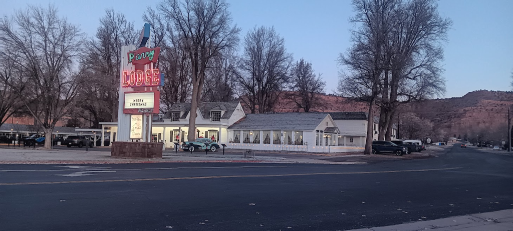
We spent one night at Kanab, Utah, at the Parry Lodge Hotel. Many famous Hollywood movies, especially Westerns but also others, were filmed in that area and many famous Hollywood movie stars (John Wayne for example) stayed there. Often the entire cast and crew of a movie would stay there.
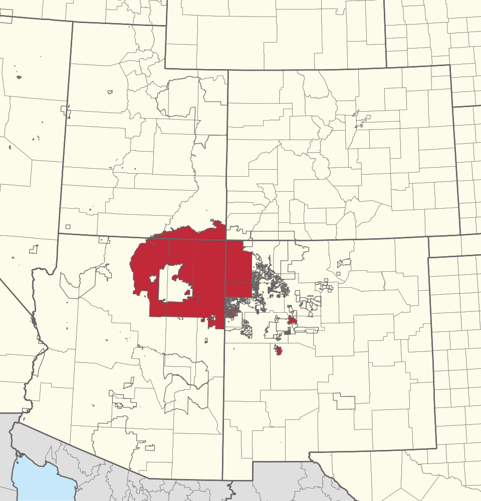
We spent a lot of time traveling through the Navajo Reservation, which is mostly in northeast Arizona with parts in northwestern New Mexico and southern Utah. At 27,000 square miles, the reservation is bigger than each of the ten smallest states.
We attended church on the reservation, in the town of Kayenta. Nearly everyone in attendance was a Navajo. But coincidentally, a guest preacher from Oklahoma delivered the sermon!
Nearly everything was in English except that one of the members spoke briefly in the Navajo language while praying. There were also some Navajo Bibles available, one of which I took a look at and tried to figure words out.
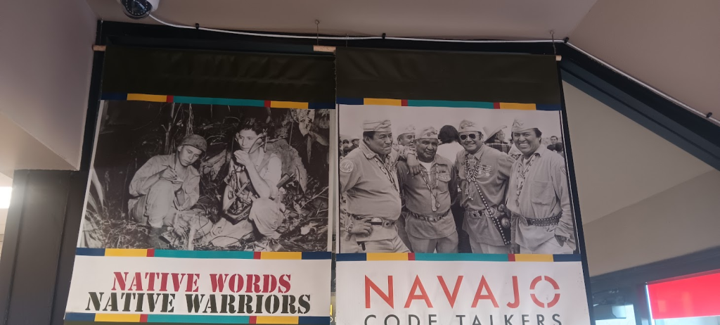
We ate in a Burger King in Kayenta with an exhibit about the Navajo Code Talkers of World War II, who communicated in a code based on their own Navajo language.
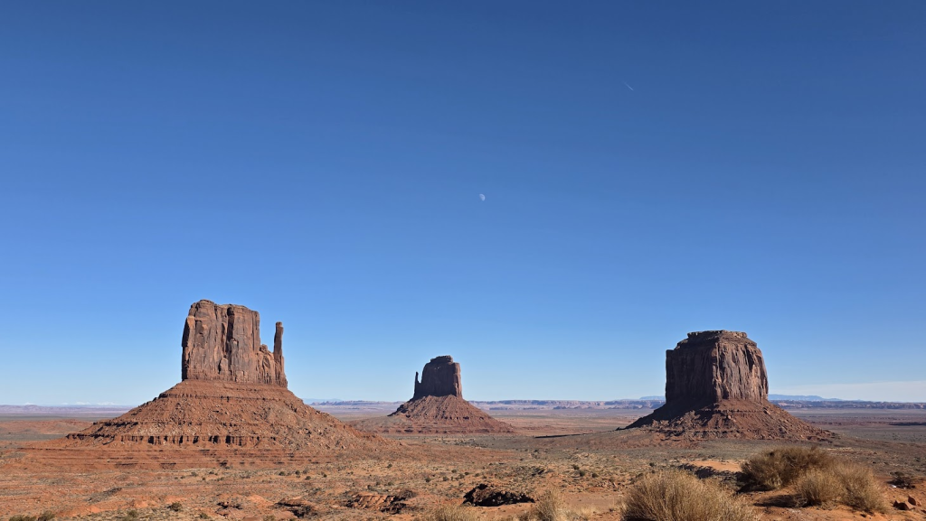
Kayenta is near Monument Valley, also on the Navajo reservation, on the border between Arizona and Utah. You’ve probably seen the Monument Valley, it’s one of the most iconic areas in the movies. So we visited that.
Afterwards, heading north, we stopped at the Forrest Gump hill. That’s the site of a famous scene from the movie, when bearded Forrest Gump runs up a hill. Years after the movie was made, cars stop on the hill to take the picture, so it’s somewhat of a hazard. I wonder if the locals aren’t tired of it!

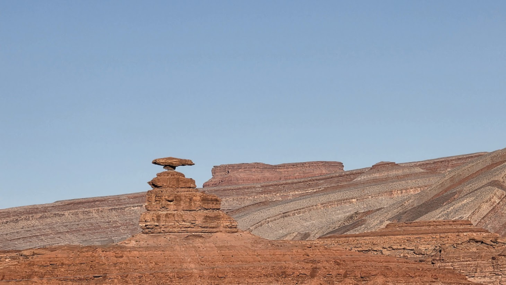
We passed by Mexican Hat, a town named after a geological feature which resembles a Mexican sombrero. That’s why they call it Mexican Hat. Lilia wanted to see it.
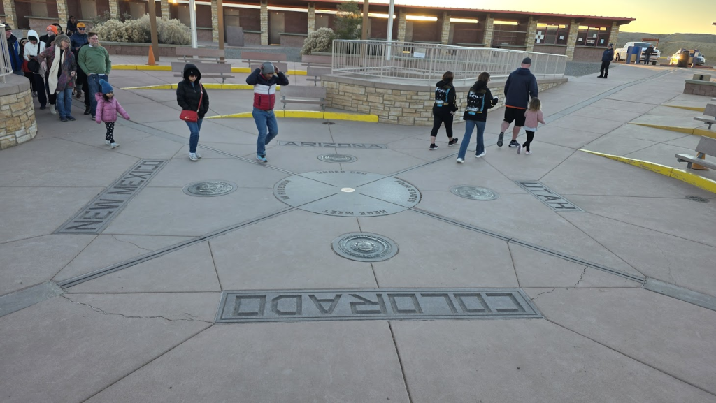
The four states of Utah, Colorado, New Mexico and Arizona come together at one point, the only place this occurs in the U.S.A.
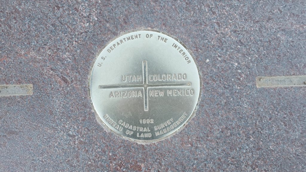
The actual point where the four states come together is at the Four Corners Monument, run by the Navajo tribe.
We wanted to go there but were running late and the place closed at 5 p.m. We arrived to the gate with about 15 minutes to spare. The guard told us we could still enter and guess what, it was free during the last 20 minutes!
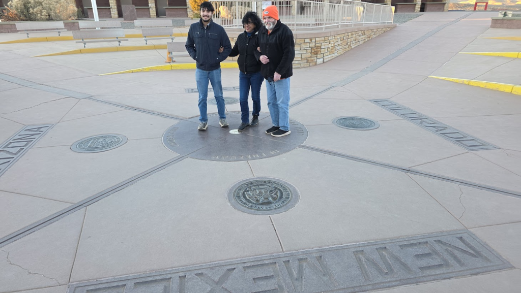
We hurried to the monument, where there were others, and had to form up in a line to get our time on the four-state marker. A lady in the line had a good idea, she had people hand her their cameras and she’d take their pictures for them. It was more efficient.
The actual four state marker shows you exactly where the four states come together.
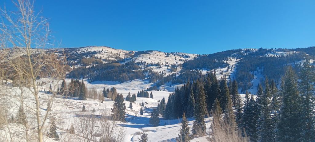
In Colorado we were able to drive through a sparsely populated area with snowy mountains.
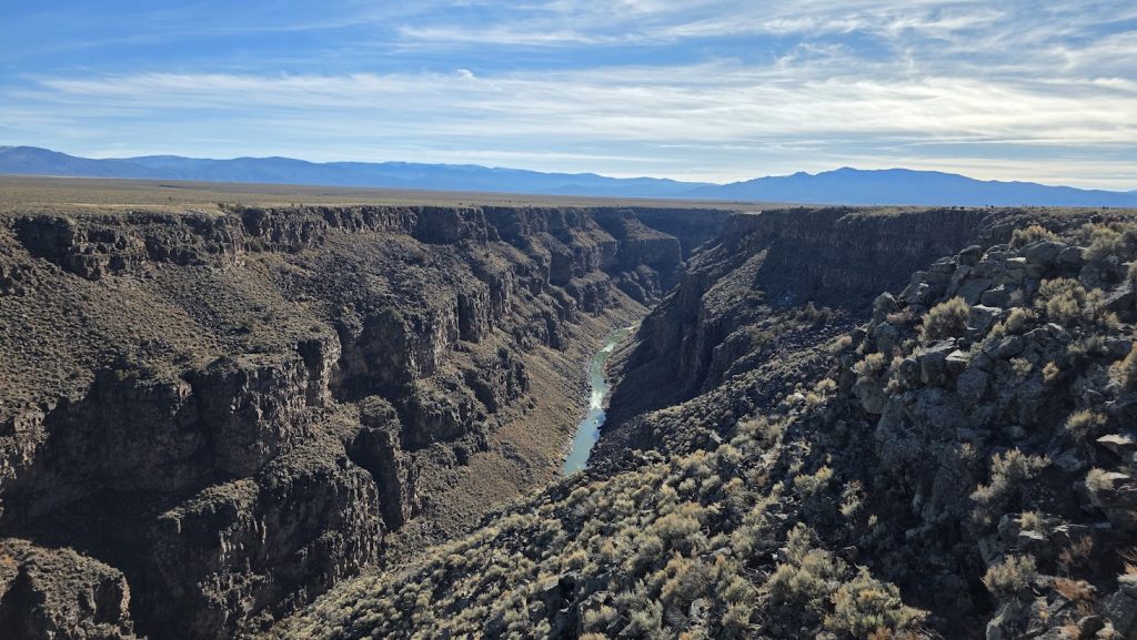
In New Mexico, we visited the famous Rio Grande Gorge. This is the same Rio Grande river that later forms the U.S.- Mexico border, and finally feeds out into the Gulf of Mexico. It’s very deep, the gorge.
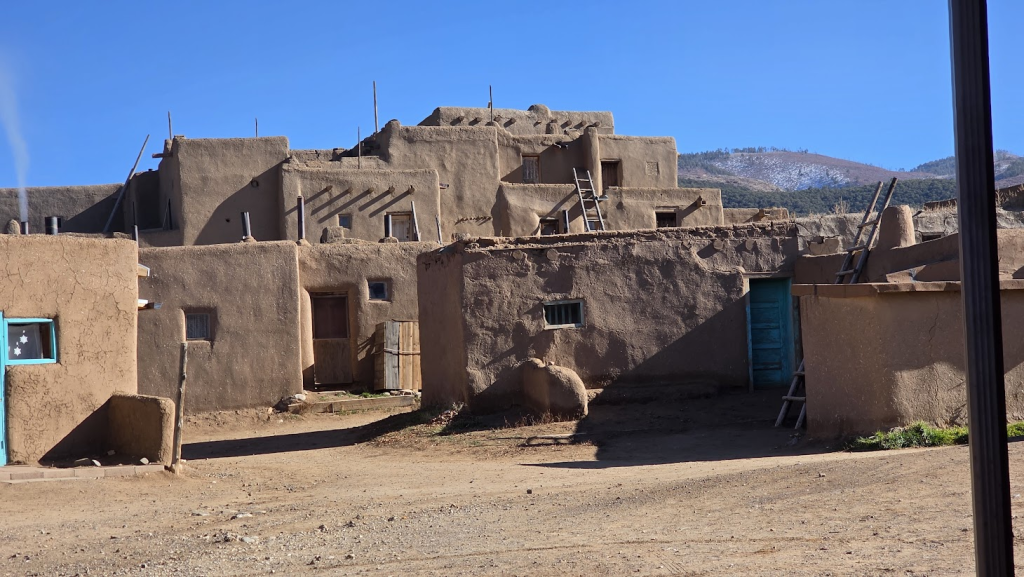
Near the Rio Grande we visited the Taos Pueblo. The Pueblo Indians lived in the Southwest and built adobe buildings, sometimes of several stories. The Taos Pueblo is still inhabited. Nobody is for sure, but it’s actually possible this town has been inhabited up to 1000 years. It could well be the oldest continually-inhabited town in the United States.
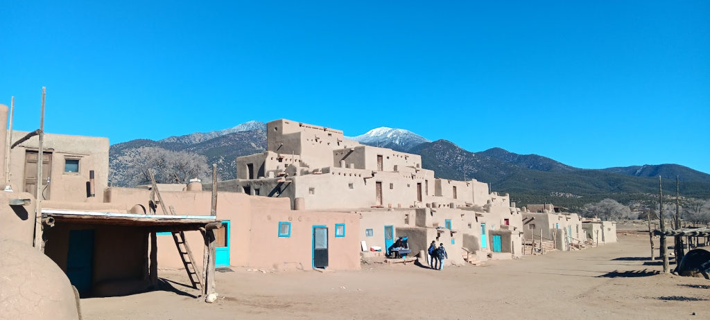
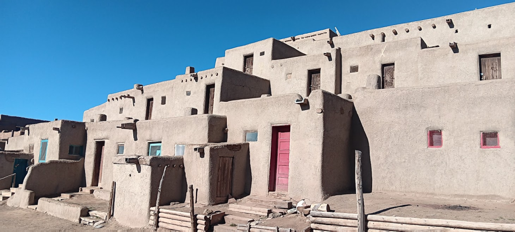
Taos is a tourist attraction, but it’s also their home. Some of the houses are shops where you can buy souvenirs.
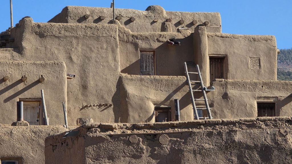
The people of the Taos Pueblo speak the Tewa language and I heard a few of them speaking it. Tewa is distantly related to the Kiowa language.
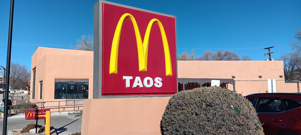
Near Taos Pueblo is the city of Taos, founded by the Spaniards. It’s now a modern city but nearly every building is made of adobe, including the McDonald’s and Whataburger fast food restaurants.
We enjoyed out trip to this region. The Four Corners region is a highly-recommended area to visit. There are so many things to see.
Article by Allan Wall, published May 18th, 2026, on www.allanwall.info .
Tags: American Indians, Arizona, Bighorn Sheep, Burger King, City of Taos, Colorado, Colorado River, Elk, Forrest Gump Hill, Four Corners Monument, Four Corners Regions, Glen Canyon Dam, Grafton in Utah, Grand Canyon, Hollywood, Horseshoe Bend, John Wayne, Kanab in Utah, Kayenta, McDonald's, Mexican Hat in Utah, Monument Valley, Mormonism, Navajo Code Talkers, Navajo Language, Navajo Reservation, New Mexico, Page in Arizona, Parry Lodge Hotel in Kanab, Rio Grande, Rio Grande Gorge, Taos Pueblo, The Bible, Utah, World War II, Zion National Park